Empersdorf

Cet article est une ébauche concernant une localité autrichienne.
Vous pouvez partager vos connaissances en l’améliorant (comment ?) selon les recommandations des projets correspondants.
| Empersdorf | ||||
 Héraldique | ||||
 Chapelle à Liebensdorf (partie d'Empersdorf) | ||||
| Administration | ||||
|---|---|---|---|---|
| Pays |  Autriche Autriche | |||
| Land |  Styrie Styrie | |||
| District (Bezirk) | Leibnitz | |||
| Code postal | A-8081 | |||
| Immatriculation | LB | |||
| Indicatif | 43+ | |||
| Code Commune | 6 10 07 | |||
| Démographie | ||||
| Population | 1 340 hab. () | |||
| Densité | 94 hab./km2 | |||
| Géographie | ||||
| Coordonnées | 46° 59′ nord, 15° 36′ est | |||
| Altitude | 360 m | |||
| Superficie | 1 423 ha = 14,23 km2 | |||
| Localisation | ||||
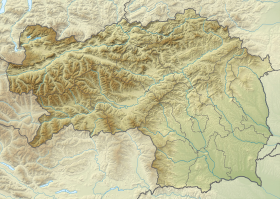
| Géolocalisation sur la carte : Autriche
Géolocalisation sur la carte : Autriche
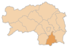
Géolocalisation sur la carte : Styrie
| ||||
modifier  | ||||


Empersdorf est une commune autrichienne du district de Leibnitz en Styrie.
Géographie

Cette section est vide, insuffisamment détaillée ou incomplète. Votre aide est la bienvenue ! Comment faire ?
Histoire
Cette section est vide, insuffisamment détaillée ou incomplète. Votre aide est la bienvenue ! Comment faire ?
v · m Communes dans le district de Leibnitz | ||
|---|---|---|
|  | |
 Portail de l'Autriche


