Murton Fell
Hill in Cumbria, England


Murton Fell
Location in Eden, Cumbria
Show map of the former Eden District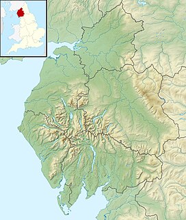
Murton Fell
Location in Cumbria, England
Show map of CumbriaMurton Fell is a hill of 675 metres (2,215 ft) above the village of Murton, Cumbria in Eden district, in the North Pennines.[1][2] It lies east of the dramatic valley of High Cup Nick
It lies on the central watershed of England, as it is drained to the south west into the River Eden flowing into the Solway Firth, and to the north east into the River Tees and ultimately the North Sea.
References
- ^ a b c "Murton Fell". www.hill-bagging.co.uk. Retrieved 13 February 2021.
- ^ "Murton Fell, Eden - area information, map, walks and more". OS GetOutside. Retrieved 13 February 2021.
- v
- t
- e
- Burnhope Seat
- Cold Fell
- Cross Fell
- Dufton Pike
- Mickle Fell
- Bink Moss
- Black Fell
- Burtree Fell
- Chapelfell Top
- Dead Stones
- Flinty Fell
- Great Dun Fell
- Great Stony Hill
- Grey Nag
- Killhope Law
- Knock Fell
- Little Dun Fell
- Little Fell
- Meldon Hill
- Melmerby Fell
- Murton Fell
- Round Hill
- The Dodd
- Three Pikes
- Viewing Hill
- Westernhope Moor
- Knock Pike
 | This Cumbria location article is a stub. You can help Wikipedia by expanding it. |
- v
- t
- e


